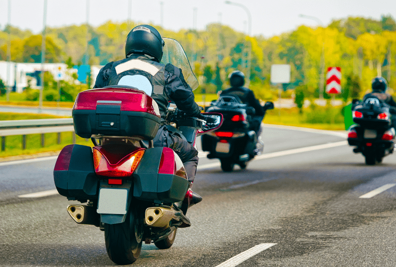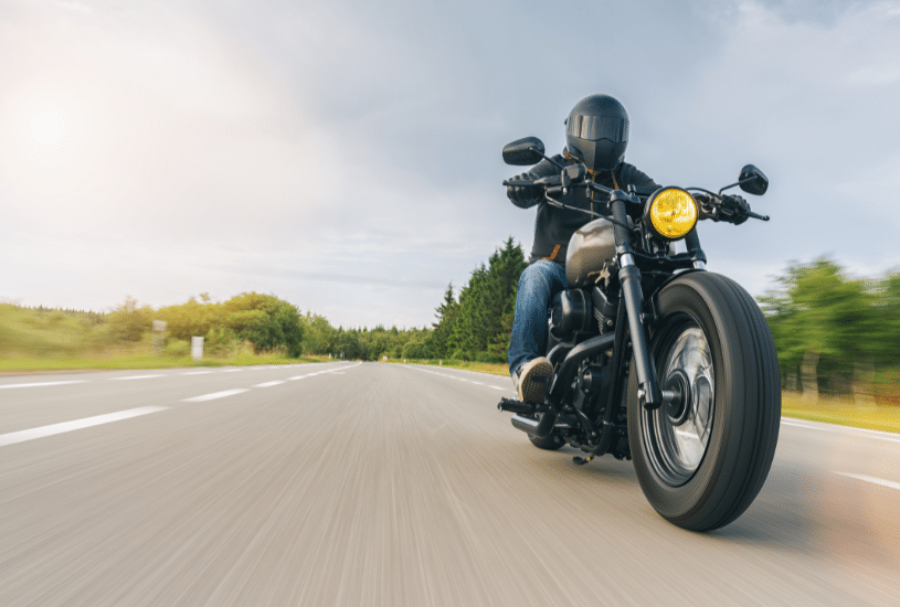
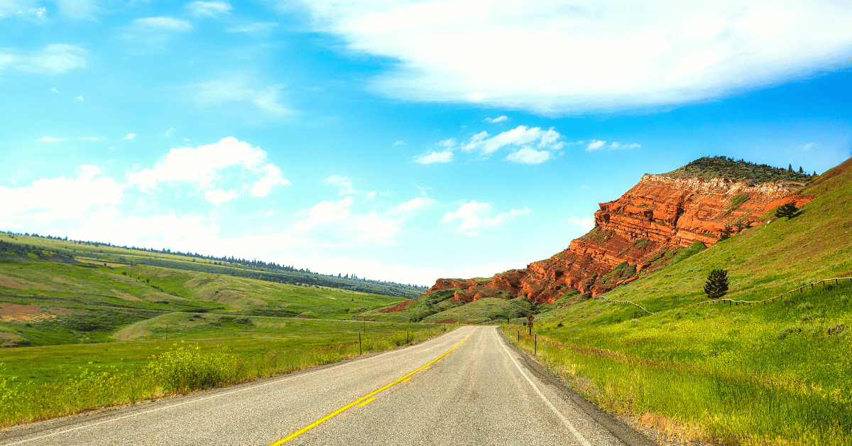
When it comes to riding, you need more than gasoline and a reliable motorcycle. Stunning views and scenic mountains can turn an everyday ride into an unforgettable experience. On the Chief Joseph Highway in Wyoming, that is precisely what you get.
This scenic byway connects Beartooth All-American Highway with the town of Cody and Yellowstone National Park’s Northeast Gate. Since this scenic route passes through Shoshone National Forest, bikers can enjoy stunning views at every mile.
Whether you’re planning a long road trip or a one-day expedition to see some of the state’s best views, taking a ride on one of the country’s most beautiful highways is a worthwhile experience.
Driving Down the Byway
The Chief Joseph Highway in Wyoming, or Hwy 296, spans 46 miles and starts about 17 miles north of Cody. The scenic byway runs along Yellowstone National Park’s Northeastern ridge and ends at the Beartooth Highway, or US Hwy 212, near Cooke City, Montana.
For the best views and driving experience, you should travel this route during the fall or summer. During the winter, snow blankets the roads, making it difficult to appreciate the area’s true beauty.
America’s Most Beautiful Scenic Drive
Wyoming’s Chief Joseph Scenic Byway is not just one of America’s most beautiful drives; it takes the number-one spot. Part of what gives this fun drive exceptional views is Beartooth Peak. Driving North, you can see the famous peak in the distance, slowly growing bigger as you continue your drive down the byway.
In addition to this peak, you can view the Clarks Fork of the Yellowstone River and the Beartooth mountains while driving north. Going south, you’ll take in the lively North Absaroka Wilderness and the Absaroka Mountains.
The drive has no shortage of greenery, either. The highway weaves through the Shoshone National Forest, allowing you to soak up Wyoming’s gorgeous views and immaculate beauty.
Dead Indian Pass
Riding to the highest points of the highway will take you to Dead Indian Pass, one of the byway’s most notable spots. At this pass, you can view the top of the North Absaroka Mountains while transitioning your view to the canyon carrying the Clarks Fork Yellowstone River.
If you appreciate history as much as Mother Nature, you can stop at the various historical signs in this area. These signs in Dead Indian Pass tell the story of the Nez Perce Tribe and their daring 1,800-mile trek to Canada.
Who Was Chief Joseph?
This historic highway gets its name from the chief of the Nez Perce Native American Tribe.
In the late 1800s, Chief Joseph and the Nez Perce Tribe left Yellowstone hoping to escape the U.S. Cavalry. At the time, the U.S. Cavalry consisted of ranchers who wanted land, so they forced Native Americans onto reservations. To avoid this fate, the Nez Perce Tribe fled by traveling through Yellowstone and the Clarks Fork River.
Although their goal was to reach Canada, the tribe surrendered following the six-day-long Battle of Bear Paw, which took place in Northeastern Montana.
The Chief Joseph Highway in Wyoming is more than a scenic byway with beautiful views; it reminds us of the Native Americans’ struggles and their impact on American history.
Contact Law Tigers for Legal Representation
Taking your motorcycle down the Chief Joseph highway in Wyoming is an unforgettable experience. Unfortunately, accidents and theft can happen at any time.
As fellow riders, our team of lawyers at Law Tigers understand the importance of biker safety — both on and off the road. If you need legal assistance, call Law Tigers at 1-888-863-7216 to schedule a free consultation with a motorcycle lawyer.